Flood Protection Landform
The massive landform will protect not only the West Don Lands, but a 210-hectare (519 acre) area, including Toronto’s financial district, from flooding.
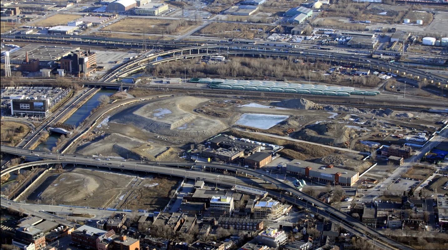
The West Don Lands area was a brownfield site in the flood plain of the Don River. Before any revitalization and development could occur the area required remediation and flood mitigation.
In 2007 the Ontario Realty Corporation which has since merged with Infrastructure Ontario began work on our behalf to contsruct the area’s massive flood protection landform (FPL). The FPL is designed to protect not only the West Don Lands but a 210 hectare (519 acre) area, including Toronto’s financial district, from flooding.
Approximately 400,000 cubic metres (about 40,000 dump truck loads) of clean soil taken from construction sites within the Greater Toronto Area was used in the construction of this massive landform.
Quick Facts
The landform provides the necessary flood protection for the new West Don Lands community, permitting the removal of the flood-plain designation, allowing the land to be rezoned for residential development.
In addition to the landform, flood protection was also provided by widening the channel of the Don River so that it could accommodate a larger flow of water. Toronto and Region Conservation carried out this work as part of the Lower Don River West Remedial Flood Protection Project.
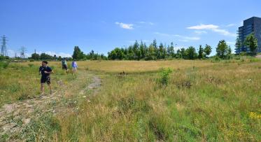
The unique topography provided by the landform has been utilized to build Corktown Common, a signature part of the new West Don Lands community.
Read the Class Environmental Assessment Environmental Study Report to learn more.


