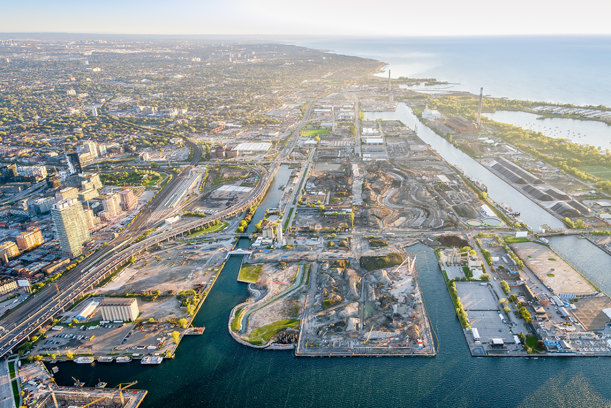
Port Lands
Find information on:
- Current Construction Impacts
- The Lake Shore Boulevard East Project
- Don Mouth Naturalization and Port Lands Flood Protection
Can’t find what you’re looking for? Please email us at info@waterfrontoronto.ca.
Toronto has a once-in-a-lifetime opportunity to transform an underused resource in the heart of downtown. The Port Lands will be home to sustainable new communities that deliver affordable housing and job opportunities, along with renewed connections to the water and natural environment.
The Port Lands is an area that extends southeast of Toronto’s downtown core into Lake Ontario and includes over 715 acres of land along the waterfront. Some familiar landmarks include: Cherry Beach, Tommy Thompson Park—one of the best bird watching spots in the city—and of course the Hearn Generating Station, an iconic, decommissioned electrical plant.
Quick Facts
Size: 356 hectare (880-acre)
Location: Keating Channel/Don River and Lake Shore Boulevard in the north, the Toronto Inner Harbour in the west, Ashbridges Bay in the east and Lake Ontario and Tommy Thompson Park in the south.
Proximity: much of it is within a 30 minute walk of downtown Toronto.
History: Man-made area created by infilling what was once one of the largest wetlands on Lake Ontario. Beginning in the 1880s, the area was gradually filled in to make more land available for industry and shipping.
Currently, 290 hectares of southeastern downtown – including parts of the Port Lands, South Riverdale, Leslieville, and the East Harbour development site – are at risk of flooding from the Don River and can’t be revitalized until they are flood protected. The Port Lands flood protection project will protect these lands, allowing them to be redeveloped. It involved building a new river valley though the Port Lands, which has created a new island called Ookwemin Minising (formerly known as Villiers Island), and re-naturalizing the mouth of the river.

