Scope & Scale
The revitalization of Toronto’s waterfront is the largest urban redevelopment project currently underway in North America, and it is one of the largest waterfront revitalization efforts ever undertaken in the world.
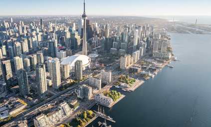
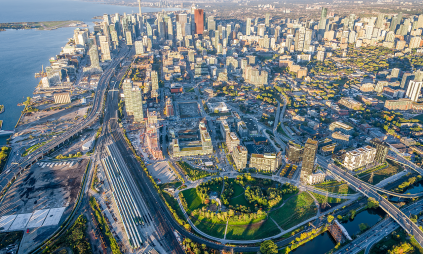
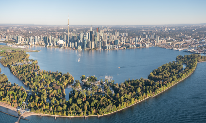
On a world scale, Toronto’s waterfront revitalization is almost unequalled in size. It’s larger than Lower Manhattan south of Houston Street, and four times the size of Monaco. To get a sense of its proportions on a local scale, the total area being redeveloped is 800 hectares (1,977 acres), which translates into an area roughly the size of Toronto’s downtown core, from Bathurst Street to Sherbourne Avenue and Front Street to Bloor Street.
In the last 20 years, progress has opened up public access to the water's edge, returned green space to post-industrial land, and lay the foundation for new neighbourhoods. Now, flood protection in the eastern waterfront will open almost half of this 800 hectares for more homes, parks, waterside access and nature. This transformation will be balanced alongside ongoing port and industrial uses.
Why This Matters
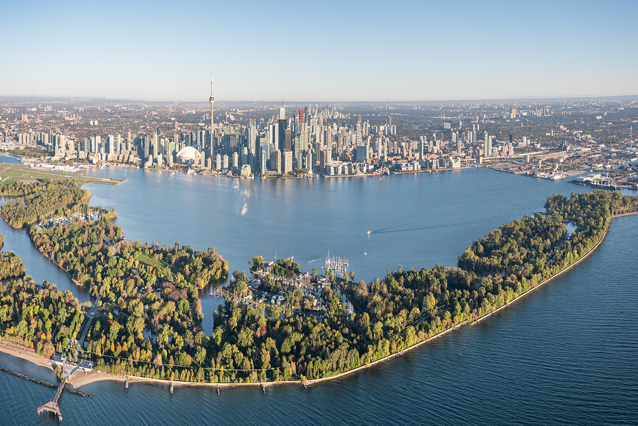
The impact of a revitalized waterfront on our economy, people and city goes well beyond the sheer size and scale of the project. Between 2001 and March 2010, work on the waterfront had already generated approximately 9,700 full-time years of employment and contributed $1.9 billion to the Canadian economy.
Revitalizing Toronto's waterfront will change the face of our city. It is an exceptional city-building undertaking, the benefits of which will secure the future for generations to come.
Revitalization Progress So Far
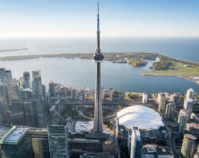
576 affordable housing units
$13.2B+ in private investment
43 hectares of parks and public spaces
26 kilometres of walkable space along the water's edge
14 public art installations
The Waterfront Precincts
Given the size and scope of this undertaking, Waterfront Toronto has divided the area into several key project areas to facilitate planning and construction.
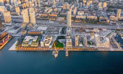
Project areas include East Bayfront and West Don Lands, the first two new waterfront communities that are already well underway. Built on former industrial sites, these new mixed-use neighbourhoods are designed for sustainable urban living. Development in the West Don Lands was made possible by a flood protection landform that forms the base of Corktown Common.
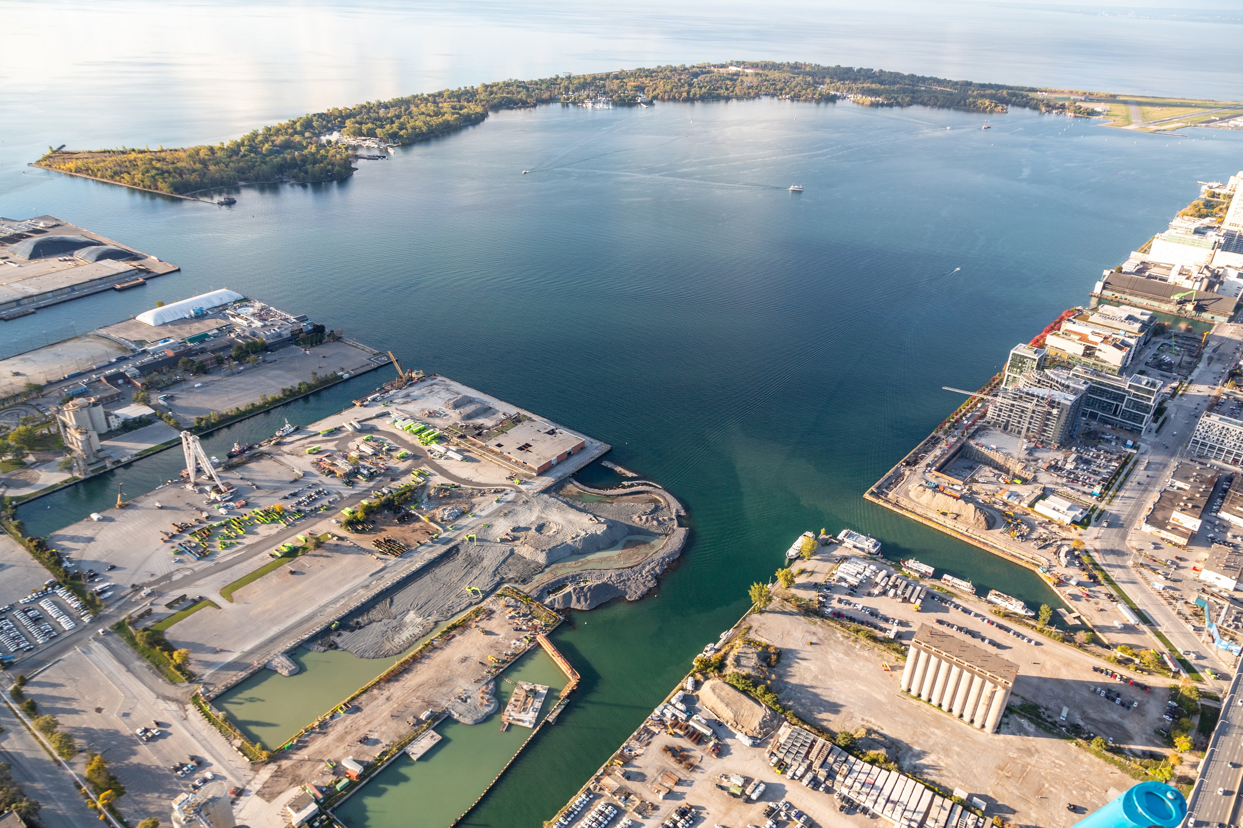
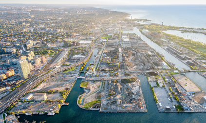
Construction is also underway in the Port Lands. Decades of infilling on what was once one of the largest wetlands on Lake Ontario created the 356-hectare Port Lands. Reconfiguring the mouth of the Don River will provide the flood protection required to develop the rest of the Port Lands area, beginning with an inclusive, sustainable community on Villiers Island.
In addition to the new communities under development, Waterfront Toronto projects also include the revitalization of well-established areas such as the central waterfront and a variety of parks and public spaces across the wider waterfront area, like The Bentway. Plans for the central waterfront, which have already started to come to life, link major waterfront destinations, create new public spaces and give Toronto a new grand waterfront boulevard. New parks and public spaces in the wider waterfront area from Mimico in the west to Port Union in the east help people reconnect to both the city and the lake.

